The Ardesia Cycle Route
A bycicle path along the coast of the Entella river, in an environment submerged by green among cane thickets, bamboos, willows and other plants, discovering the inner part of Liguria. Check out the path in a more detailed way on the site Bella Italia in Bici.
THE ROUTE
It goes up from the mouth of the Entella river, eventually entering the woods for a total lenght of 33 km comprising of several types of paving, linked with local tarmac roads with very limited traffic. There are also “single track” parts, with gravel, cobbled or sandy sections, with short uphill traits up to 20% steepness.
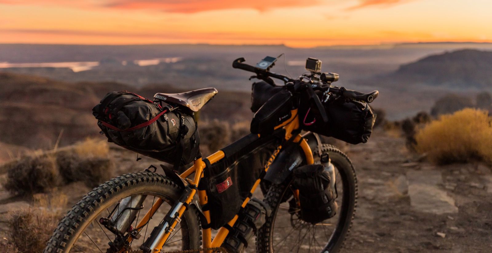
It's a very varied path, the polar opposite to monotony. For the first 20km trekking bikes will do, while for the final part we suggest mountain bikes with very short gearing, possibly with tessellated tyres and good brakes, other than a decent physical fitness and an attitude to offroad, also given that you will need to cycle 33 more kilometers to return to the base.
HOW TO GET THERE
The route starts in Lavagna, where the Entella river flows into the sea. The starting bank is the left one, while to the right of the river is the city of Chiavari. The two municipalities face the Entella, which represents the city border.
For people coming from Highway Genova – La Spezia it's possible to exit both in Lavagna and Chiavari, and one shouldn't ignore the possibility of getting there by train, as parking availability is limited in spring and summer!